|
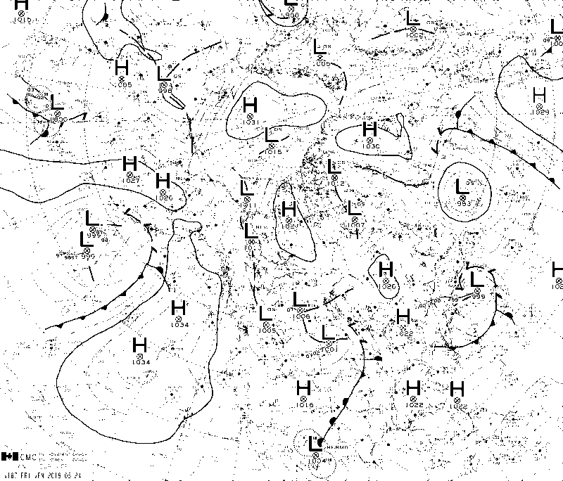
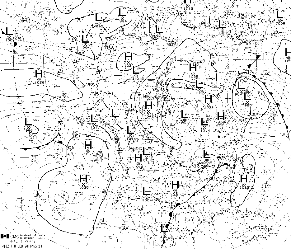
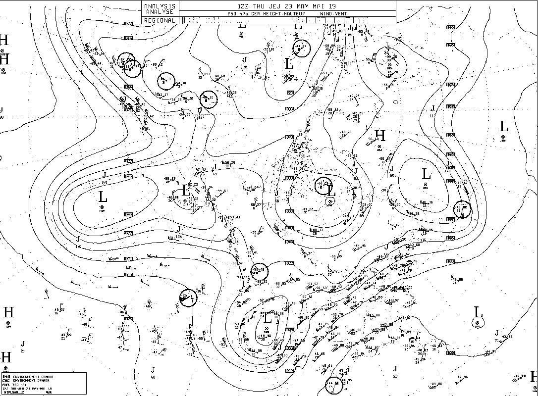
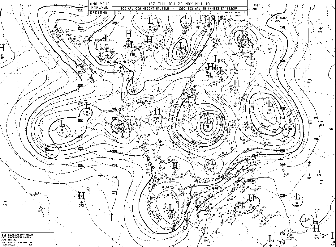
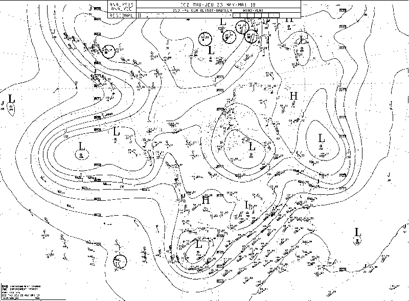
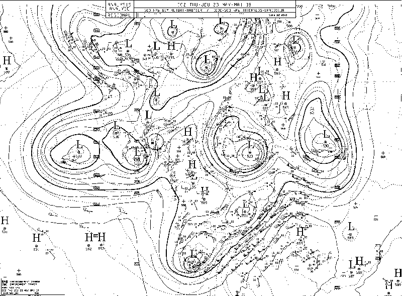
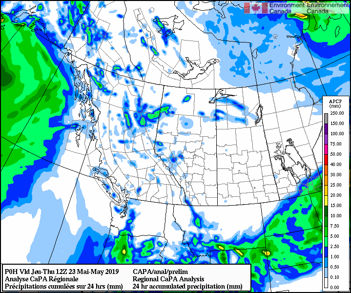
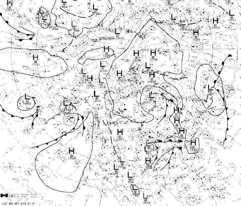
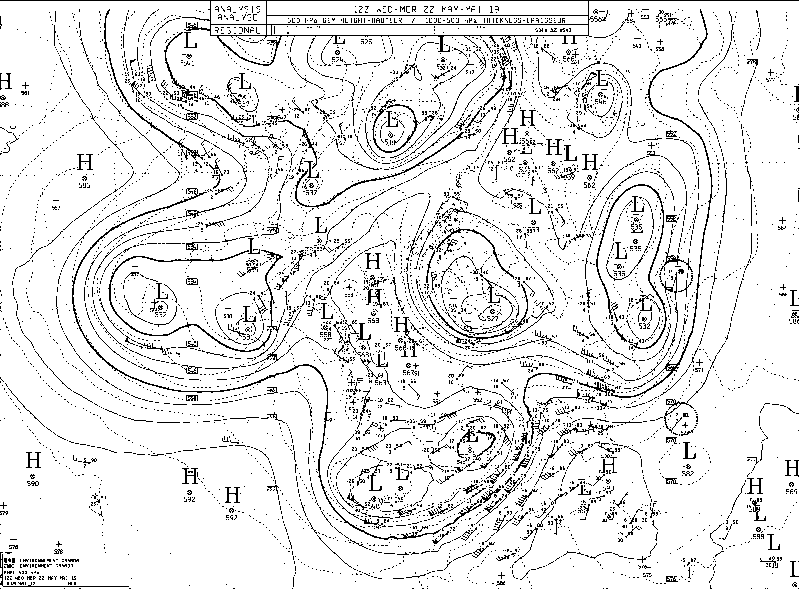
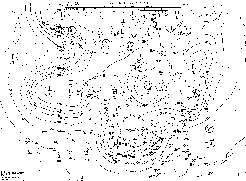
FORECASTER: Juris Almonte SYNOPTIC OVERVIEW: An upper trough digging into BC and AB has caused some unsettled weather over the SPADE region.
0 Comments
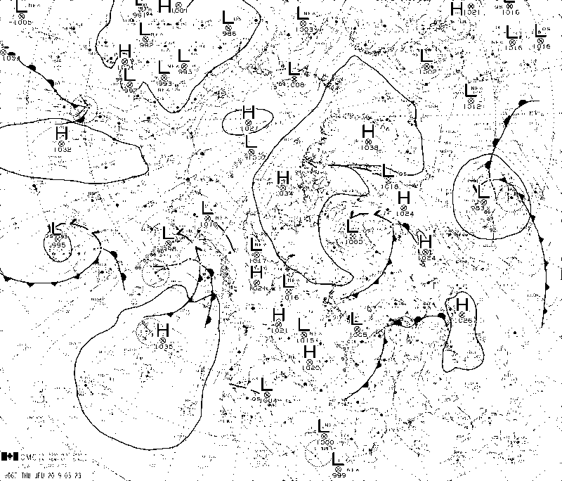
FORECASTER: Juris Almonte SYNOPTIC OVERVIEW: A surface trough is still situated on the westward side of the Rocky Mountains and has been causing some of the precipitation we have been observing in the area which may persist into this evening. A ridge is currently located off the BC coast and is expected to make landfall over the next few days, bringing stable conditions to the area.
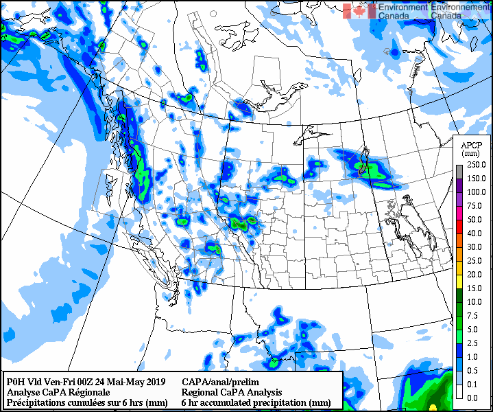
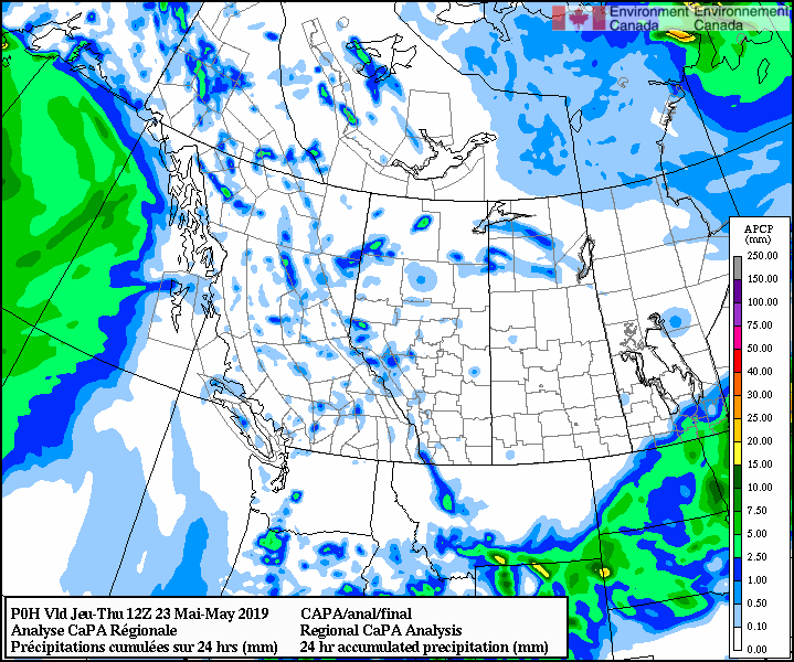
FORECASTER: Hilary Smith SYNOPTIC OVERVIEW: Low pressure system located over southern Alberta and a trough just on the western side of the continental divide. Large precipitation system showing on radar located to the east of the Fortress Mountain site, but it has not moved for quite some time and flow throughout the day has been southwesterly. The radar will be monitored for the next couple hours to ensure that the system does not move west and that no other systems develop that could move towards Fortress.
FORECASTER: Juris Almonte & Selina Mitchell SYNOPTIC OVERVIEW: Low pressure system that is expected to develop to the south of Alberta/ Saskatchewan that will change the flow to a more upslope flow over the Rockies.
Synopsis A ridge of high pressure remains over the northeastern Pacific basin with a trough of low pressure over the forecast region of eastern BC and western Alberta. Disturbances in the resulting northwesterly flow will affect the area over the forthcoming 24 to 48 hours, although confidence in model agreement of amounts, timing, and duration is low. Nipika
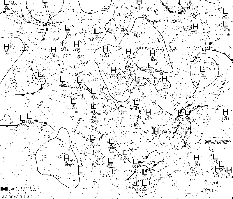
Low chance of scattered precip through Thursday evening into Friday morning. Greater chance of moderate rain between 12-3 pm MDT with clearing again into Friday evening. Fortress Greater possibility of mixed precip and rain (including the chance of freezing rain) from 8 pm MDT onward throughout Thursday night and into Friday morning. Chance of lighter intensity precip throughout the day Friday into Saturday morning when another round of precip can be expected from 9 am MDT onward. FORECASTER: Hilary Smith SYNOPTIC OVERVIEW: There is a local high pressure system located over the SPADE region that will likely move NE and out of the region over the course of the day. A warm front is located off the west coast of BC. There is a sizeable low still located off the northern west coast near Alaska. The radar is currently showing no precipitation in the SPADE region and will monitored throughout the day for precipitation moving into the area.
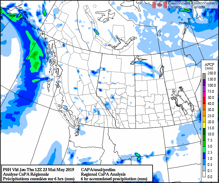
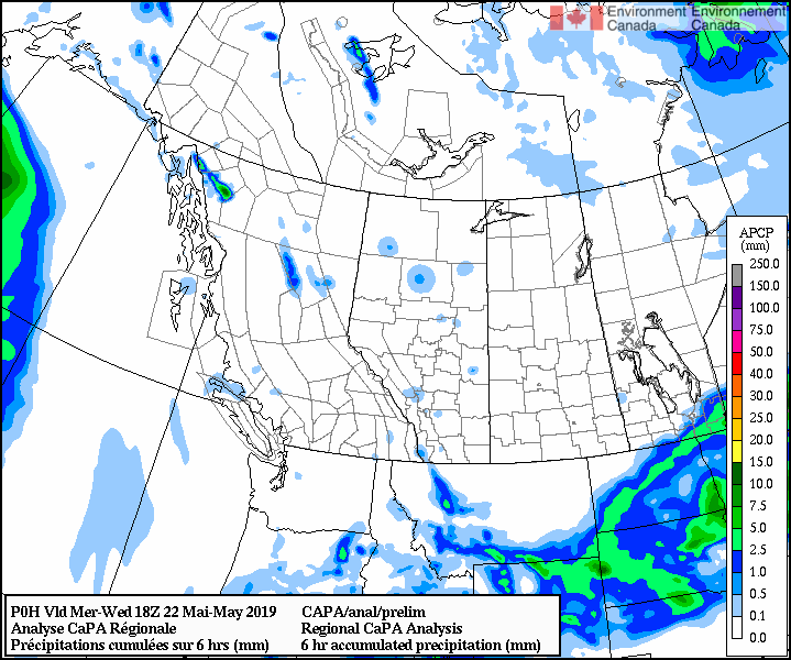
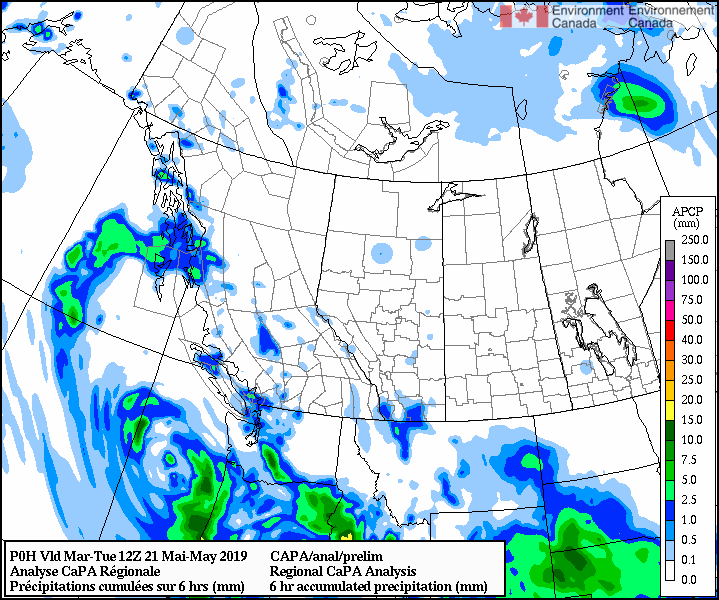
FORECASTER: André Bertoncini SYNOPTIC OVERVIEW Currently a higher pressure system is installed over the southern Canadian Rockies suppressing the formation of precipitation in the region. CaPA shows no precipitation in the region in the last 6 hours from 12:00 MDT. Radar also shows no precipitation in the region. Wind flow in the region is easterly to southeasterly.
Forecaster : Cécile Carton SYNOPTIC OVERVIEW The presence of a high located on the region will provide us with a day clear of precipitations. A low pressure system coming from the Pacific is slowly moving toward us and should hit us on Thursday.
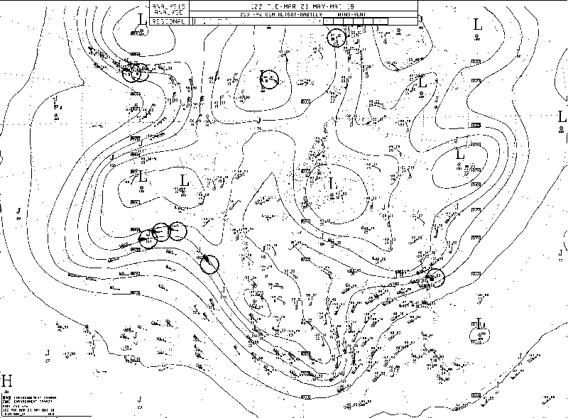
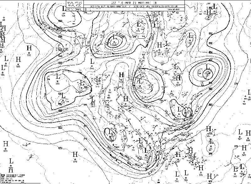
FORECASTER: Juris Almonte SYNOPTIC OVERVIEW: A surface and upper level trough remains over British Columbia extending to the States over Idaho, where a surface low pressure system resides. This is causing the showery conditions we are experiencing over the SPADE region. Analysis charts also show ridging happening along the Pacific, but is slow moving.
FORECASTERS: Selina Mitchell, Cécile Carton, & André Bertoncini REGIONAL SYNOPSIS: Currently there is an occluded low located off the southwest coast of British Columbia. It does not look like it will influence our weather within the next twenty four hours.
|
ForecastersTeam of atmospheric scientists from across the nation. ArchivesCategories |
 RSS Feed
