Nipika Fortress
0 Comments
Nipika Fortress
NipikaFortress
Nipika Fortress
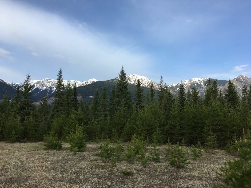
Nipika Fortress Site One Bear-ly Survives a Brush with Wildlife At 1000 MDT (1600 UTC) Stephen, André, and Selina departed for the top of the Cross Resource Road, driving through a beautiful sunny day to arrive at the lowest elevation precipitation gauge at 1100 MDT (1700 UTC). Although the roads around Nipika were crammed with vacationers, the road beyond Nipika was eerily silent on this holiday weekend, so we routinely checked our radio to see if it had somehow become disconnected. The lowest elevation precipitation gauge, at 23.25 km, was in excellent shape, with 12 mm of precipitation collected over an eight-day period. Much like our last visit, wind greeted us from the direction of the Kootenay River at this site. The next site up the Cross Road, at 32.5 km, was in equally good shape, with 7.2 mm of precipitation collected over the same period. There was very little wind at this site, and only two bears nearby. Perhaps they were admiring the remarkably clear waters of the Cross River as it flowed past the gauge. Unfortunately, the highest elevation site, Site 1, had seen bear damage, and the metal join where the precipitation gauge platform met its support, had been bent downwards, almost to a 45 degree angle. The signage was torn, and the precipitation gauge itself now had a tooth mark in it. With some help from André and Stephen, the precipitation gauge was levelled again, and some data were successfully collected from this site. However, this precipitation gauge had received only 4.8 mm total precipitation, with 0.4 mm combined precipitation from the 17th and the 18th of May, two days when other sites had received comparatively large amounts of precipitation. It is possible that the bear damage had prevented the gauge from tipping properly during the May 17-18th time period. Katabatic winds may have been present at this site during our visit, with persistent cold winds coming from the snowfields behind the cliffs that form the headwall of this valley. Each site had received sufficient precipitation to wash the writing off of the handwritten public education signs, so in addition to collecting data, we had to replace the signage with some of the official waterproof variety. Hopefully the bears will be able to read these ones. Having completed our work by 1230 MDT (1830 UTC), we enjoyed a fabulous lunch on a nearby snow drift, where we basked in cold winds and beautiful scenery. We paused at the Baymag open pit mine site, the location of the purest magnesium oxide deposit on the planet, as we puttered back to Nipika. With all instruments functioning normally at Nipika, we departed at 430 MDT (1030 UTC) for Radium Hotsprings. -Selina Field Participants: Prof. Stephen Déry, André Bertoncini, & Selina Mitchell
Nipika Fortress
Nipika Fortress
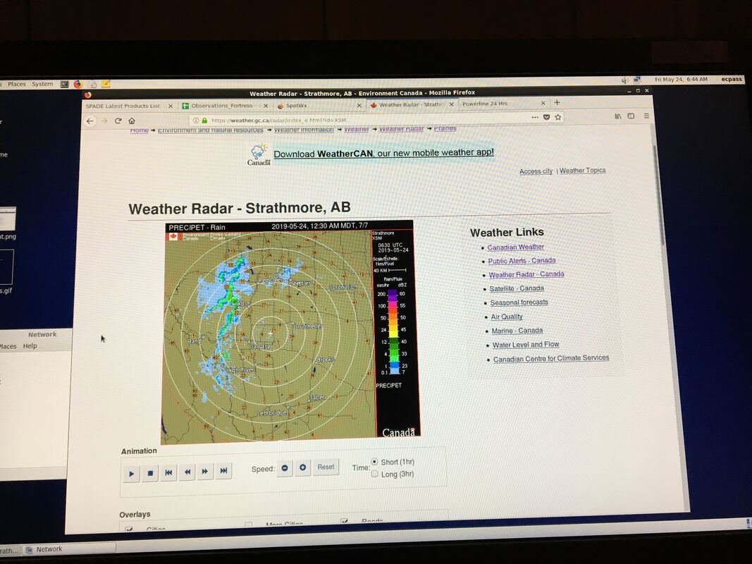
Nipika Fortress Storms not what we expected... The forecast on May 12th, with emphasis using the GEM 2.5 had us excited about a transition event from rain to snow on the Fortress side and some rain expected on the Nipika side. Teams were organized on both sides and were told to wake up at 4 AM to check our updated weather briefing on slack. Here is what our discussions on slack looked like: "Pcp forecast from GEM2.5 looks good, current radar showing patchy pcp in southern BC moving towards the divide, will re-evaluate in 2 hours" - Professor Déry "Hilary and I suggest being on site by 0530 MDT. GEM 2.5 shows heavier pcp beginning at 6 AM MDT. Radar showing light precip (trace amounts) around Nipika area moving E. Trace precip to arrive at Fortress ~0445 MDT. Storm to end ~0900 MDT" - Juris
Nipika Fortress |


